
National Geographic Education Maps
Many of our EEI units come with full color National Geographic California maps showing dramatic visualization of the Golden State’s physical geography. From satellite images to California’s energy infrastructure, these maps offer vibrant color with great detail.
These maps are accessible as downloadable files via the Ten Strands EEI Curriculum page.
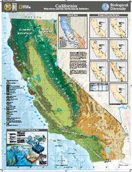 |
Biological DiversityA map of California showing climatic zones, biological diversity hot spots, and types of natural vegetation. The map also shows ocean habitats of Monterey Bay. |
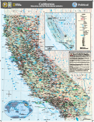 |
PoliticalA map of California cities and towns. |
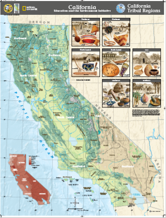 |
California TribalA map of California that breaks the state up into: northwest, northeast, north central, south central, east, southwest and southeast. Also depicting what tribes live within each region. Inset of same regions, but showing Indian language groups: Algonquian, Athapaskan, Hokan, Penutian, Uto-Aztecan, Yukian. |
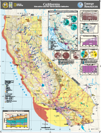 |
Energy ResourcesA map of California showing energy infrastructure, including electric generating power plants, by energy source. |
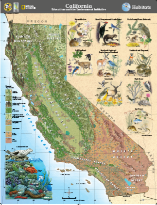 |
HabitatsA map of California and its different animals and habitats. |
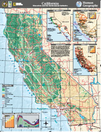 |
Human GeographyA map showing the geography of California, including patterns of migration, population change over time, foreign born population, and current land use. |
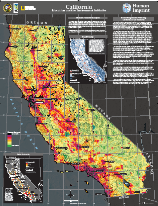 |
Human ImprintA map that shows the relative level of human influence on California's landscape, based on population density, land use, energy systems, and transportation networks. |
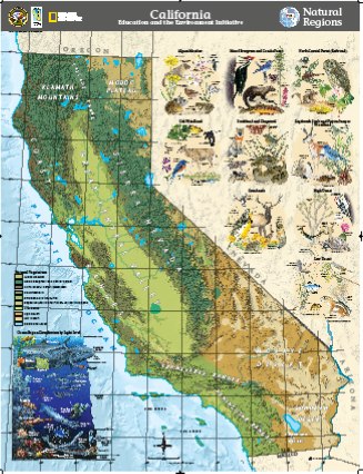 |
Natural RegionsA map that identifies California’s natural regions and includes images of plants and animals that live in each region. |
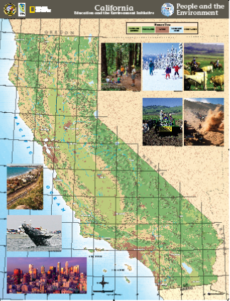 |
People and the EnvironmentA map of California showing human uses of the land. |
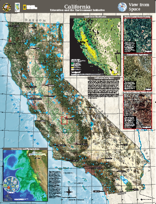 |
View from SpaceA map showing various views of California taken from satellite images. |
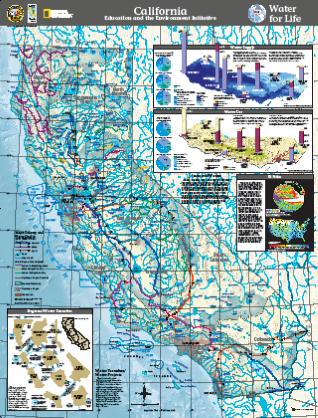 |
Water for LifeA map of California's water sources. |
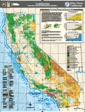 |
Who Owns CaliforniaA map of California showing land ownership, by category (federal, state, county, and non-government). |


